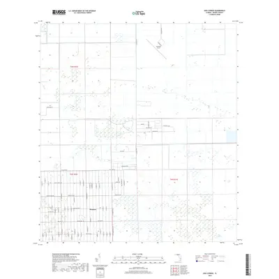
2018 Map of Hog Cypress
USGS Topo · Published 2018About this map
Montura anchors the southern portion of this interior Florida landscape, showcasing an extensive grid of residential streets set against the unique terrain of Hog Cypress. The development pattern here is highly structured, with thoroughfares like Hunting Club Ave and Horse Club Ave carving out a large-scale rural-residential community. To the north, the landscape shifts toward the operational footprint of the Airglades Airport, positioned along Airport Rd. The map reveals the intricate water management system characteristic of the Everglades region, defined by the straight lines of the L-1 Canal. These artificial waterways cut through the natural wetlands and cypress strands, illustrating the ongoing effort to balance human settlement and aviation infrastructure with the seasonally saturated soils of the Florida ranchlands.
Find a feature on this map
74 named features on this map. Tap any name to fly to it.
Don’t see what you’re looking for? This feature index may not catch every label — zoom into the map to look around manually.
Map Details
Editions of this 2018 Hog Cypress Map
This is the sole edition of this map. No revisions or reprints were ever made.
Other maps of this area

1956 · West Palm Beach
USGS Topo · 1:250,000

1957 · West Palm Beach
USGS Topo · 1:250,000

1958 · West Palm Beach
USGS Topo · 1:250,000

1970 · Moore Haven
USGS Topo · 1:24,000

1970 · Lake Harbor SW
USGS Topo · 1:24,000

1970 · Clewiston South
USGS Topo · 1:24,000

1970 · La Belle 4 SE
USGS Topo · 1:24,000

1970 · La Belle 4 NW
USGS Topo · 1:24,000

1970 · La Belle 4 NE
USGS Topo · 1:24,000

1971 · La Belle 4 SW
USGS Topo · 1:24,000