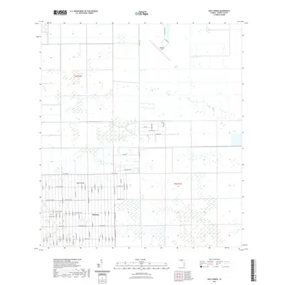
2021 Map of Hog Cypress
USGS Topo · Published 2021About this map
Montura anchors the southern portion of this interior Florida landscape, where a dense grid of residential streets meets the expansive wetlands of Hog Cypress. The settlement's layout is defined by thematic naming conventions, with corridors like Hunting Club Ave, Horse Club Ave, and Bald Cypress Ave stretching across the flat terrain. This transition between planned development and natural hydrologic features is typical of the region's mid-to-late 20th-century land use patterns.
Find a feature on this map
73 named features on this map. Tap any name to fly to it.
Don’t see what you’re looking for? This feature index may not catch every label — zoom into the map to look around manually.
Map Details
Editions of this 2021 Hog Cypress Map
This is the sole edition of this map. No revisions or reprints were ever made.
Other maps of this area

1956 · West Palm Beach
USGS Topo · 1:250,000

1957 · West Palm Beach
USGS Topo · 1:250,000

1958 · West Palm Beach
USGS Topo · 1:250,000

1970 · Moore Haven
USGS Topo · 1:24,000

1970 · Lake Harbor SW
USGS Topo · 1:24,000

1970 · Clewiston South
USGS Topo · 1:24,000

1970 · La Belle 4 SE
USGS Topo · 1:24,000

1970 · La Belle 4 NW
USGS Topo · 1:24,000

1970 · La Belle 4 NE
USGS Topo · 1:24,000

1971 · La Belle 4 SW
USGS Topo · 1:24,000