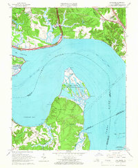
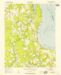
1965 Map of Hog Island
USGS Topo · Published 1966About this map
Hog Island and the broad reach of the James River dominate this mid-century survey, illustrating the intersection of colonial history and Cold War-era defense. Along the northern shore, the Kingsmill area and the Carters Grove Historical Home sit near the developing corridors of the Chesapeake and Ohio railroad and the Colonial National Historical Parkway. On the southern bank, the landscape transition is marked by the Hog Island State Waterfowl Refuge and the agricultural expanses of Gravel Neck, where tidal flats like Cobham Bay meet the mouth of Chippokes Creek.
Find a feature on this map
62 named features on this map. Tap any name to fly to it.
Don’t see what you’re looking for? This feature index may not catch every label — zoom into the map to look around manually.
Map Details
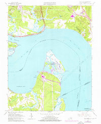
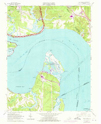
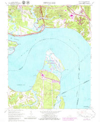
Editions of this 1965 Hog Island Map
4 editions found
Other maps of this area

1906 · Williamsburg
USGS Topo · 1:62,500

1907 · Yorktown
USGS Topo · 1:62,500

1917 · Toano
USGS Topo · 1:62,500

1918 · Toano
USGS Topo · 1:62,500

1919 · Surry
USGS Topo · 1:62,500

1943 · Yorktown
USGS Topo · 1:62,500

1943 · Richmond
USGS Topo · 1:250,000

1944 · Yorktown
USGS Topo · 1:24,000
1948 · Bacons Castle
USGS Topo · 1:24,000

1949 · Richmond
USGS Topo · 1:250,000