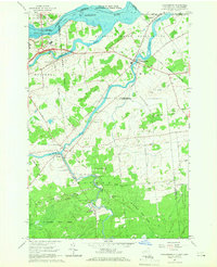
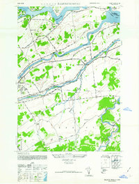
1964 Map of Hogansburg
USGS Topo · Published 1966About this map
The St Regis Indian Reservation dominates the northern landscape of this mid-1960s survey, where the St Regis River and Raquette River converge toward the St Lawrence River at the international border. The map illustrates a region defined by industrial history and ancestral lands, centered on the village of Hogansburg. Southward, the map details the industrial legacy of Brasher Iron Works and the small settlement of Ironton, situated along the winding Deer River.
Find a feature on this map
52 named features on this map. Tap any name to fly to it.
Don’t see what you’re looking for? This feature index may not catch every label — zoom into the map to look around manually.
Map Details
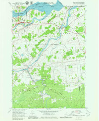
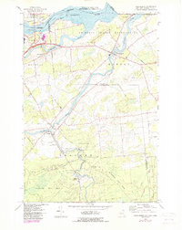
Editions of this 1964 Hogansburg Map
3 editions found
Other maps of this area

1906 · Massena
USGS Topo · 1:62,500

1907 · Massena
USGS Topo · 1:62,500

1915 · Moira
USGS Topo · 1:62,500

1917 · Moira
USGS Topo · 1:62,500

1942 · Barnhart Island
USGS Topo · 1:24,000

1943 · Barnhart Island
USGS Topo · 1:31,680

1944 · Moira
USGS Topo · 1:62,500
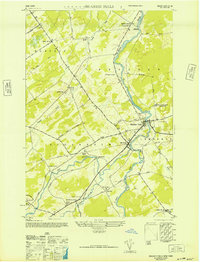
1946 · Brasher Falls
USGS Topo · 1:24,000
1946 · Raquette River
USGS Topo · 1:24,000

1948 · Ogdensburg
USGS Topo · 1:250,000