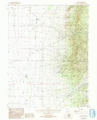
1987 Map of Hogum
USGS Topo · Published 1993About this map
The eastern slopes of the Deep Creek Range define this landscape, where mining activity and water management were central to the local economy during the late 20th century. The settlement of Osceola is a focal point, situated near several industrial markers including mine shaft adits and the Crystal Queen Mine. To the south, the name Hogum appears alongside a concentration of prospects, illustrating the extensive exploratory work that once characterized this region of White Pine County.
Find a feature on this map
34 named features on this map. Tap any name to fly to it.
Don’t see what you’re looking for? This feature index may not catch every label — zoom into the map to look around manually.
Map Details
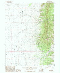
Editions of this 1987 Hogum Map
2 editions found
Other maps of this area

1948 · Wheeler Peak
USGS Topo · 1:62,500

1950 · Wheeler Peak
USGS Topo · 1:62,500

1952 · Ely
USGS Topo · 1:125,000

1956 · Lund
USGS Topo · 1:250,000

1956 · Ely
USGS Topo · 1:250,000

1959 · Ely
USGS Topo · 1:250,000

1959 · Sacramento Pass
USGS Topo · 1:62,500

1959 · Connors Pass
USGS Topo · 1:62,500

1960 · Lund
USGS Topo · 1:250,000

1963 · Ely
USGS Topo · 1:250,000