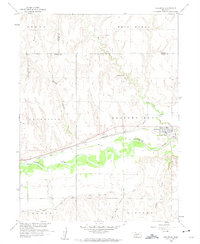
1958 Map of Holbrook
USGS Topo · Published 1960About this map
The Republican River valley defines this mid-century landscape in Furnas County, where the settlement of Holbrook serves as a central hub for the surrounding agricultural districts. This era shows a complex water management system essential for the Missouri River Basin development, marked by numerous siphons and canals winding through the bottomlands. The Chicago Burlington and Quincy railroad line runs parallel to the river, anchoring the town and facilitating the transport of regional goods.
Find a feature on this map
21 named features on this map. Tap any name to fly to it.
Don’t see what you’re looking for? This feature index may not catch every label — zoom into the map to look around manually.
Map Details
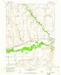
Editions of this 1958 Holbrook Map
2 editions found
Other maps of this area

1896 · Arapahoe
USGS Topo · 1:125,000

1898 · Arapahoe
USGS Topo · 1:125,000

1954 · McCook
USGS Topo · 1:250,000

1955 · Grand Island
USGS Topo · 1:250,000

1956 · Cambridge
USGS Topo · 1:24,000

1956 · Medicine Creek Dam
USGS Topo · 1:24,000

1957 · McCook
USGS Topo · 1:250,000

1957 · Grand Island
USGS Topo · 1:250,000

1958 · McCook
USGS Topo · 1:250,000

1958 · Grand Island
USGS Topo · 1:250,000