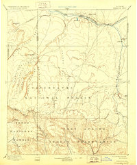
1893 Map of Holbrook
USGS Topo · Published 1928About this map
Little Colorado River valley settlements define this late-nineteenth-century landscape, anchored by the rail hub of Holbrook. The Atlantic and Pacific Railroad cuts across the northern corridor, connecting early outposts like Saint Joseph and Hardy. Moving south from the high plateau, the map documents a transition into the wooded uplands of the Sitgreaves National Forest and the deep incisions of Clear Creek Canyon and Black Canyon. The survey captures the early Mormon settlements along Silver Creek, including Snowflake, Taylor, and Woodruff, established near the distinctive Woodruff Butte. Further south, the map reaches into the Fort Apache Indian Reservation, where drainage systems like Carrizo Creek and Cibicu Creek reveal a complex network of washes and canyons. This reconnaissance era document provides a primary look at the region’s topography before the development of modern highway systems, showing the critical relationship between seasonal water sources like Walnut Spring and the placement of remote settlements such as Heber and Showlow.
Find a feature on this map
58 named features on this map. Tap any name to fly to it.
Don’t see what you’re looking for? This feature index may not catch every label — zoom into the map to look around manually.
Map Details
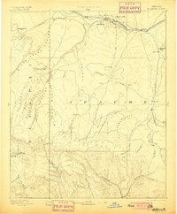
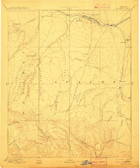
Editions of this 1893 Holbrook Map
4 editions found

Other maps of this area

1883 · Tusayan
USGS Topo · 1:250,000

1886 · St Johns
USGS Topo · 1:250,000

1886 · Tusayan
USGS Topo · 1:250,000

1886 · Fort Defiance
USGS Topo · 1:250,000

1886 · San Francisco Mtns
USGS Topo · 1:250,000

1886 · Holbrook
USGS Topo · 1:250,000

1887 · Verde
USGS Topo · 1:250,000

1891 · San Francisco Mtns
USGS Topo · 1:250,000

1892 · Verde
USGS Topo · 1:250,000

1892 · Fort Defiance
USGS Topo · 1:250,000