
1893 Map of Holbrook
USGS Topo · Published 1893About this map
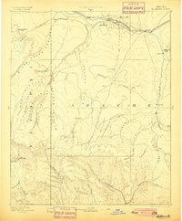
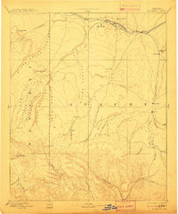
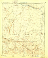
The Little Colorado River valley serves as the primary corridor for settlement and transit in this late nineteenth-century portrait of northeastern Arizona. Following the river's path, the Atlantic and Pacific Railroad connects rail stops at Saint Joseph and Holbrook, providing a vital lifeline for the livestock and ranching communities developing in the high desert. To the south, a network of early Mormon pioneer settlements including Snowflake, Taylor, and Showlow are established along fertile drainages like Silver Creek and Showlow Creek.
Find a feature on this map
55 named features on this map. Tap any name to fly to it.
Don’t see what you’re looking for? This feature index may not catch every label — zoom into the map to look around manually.
Map Details
Editions of this 1893 Holbrook Map
4 editions found
Other maps of this area

1883 · Tusayan
USGS Topo · 1:250,000

1886 · St Johns
USGS Topo · 1:250,000

1886 · Tusayan
USGS Topo · 1:250,000

1886 · Fort Defiance
USGS Topo · 1:250,000

1886 · San Francisco Mtns
USGS Topo · 1:250,000

1886 · Holbrook
USGS Topo · 1:250,000

1887 · Verde
USGS Topo · 1:250,000

1891 · San Francisco Mtns
USGS Topo · 1:250,000

1892 · Verde
USGS Topo · 1:250,000

1892 · Fort Defiance
USGS Topo · 1:250,000