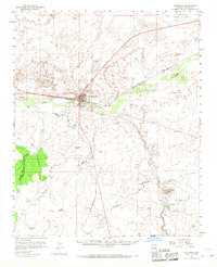
1955 Map of Holbrook
USGS Topo · Published 1969About this map
The confluence of the Little Colorado River and the Puerco River anchors this mid-century portrait of Holbrook, a vital transportation hub in Navajo County. The Atchison Topeka and Santa Fe railroad corridor dictates the local geography, connecting the main town to outlying points like Penzance and Arntz. This 1950s landscape reflects a community balanced between its ranching roots, evidenced by the Jeffers Ranch and Flake Windmill, and growing regional infrastructure including the Holbrook Airport and local Drive-in Theater. Educational and social institutions are prominent, with the Navajo Mission School and Yalita Indian School serving the area. To the south, the terrain rises toward Woodruff Butte, overlooking the settlement of Woodruff and its associated Woodruff Lake, while various washes like Leroux Wash and Apache Wash carve through the high desert floor.
Find a feature on this map
38 named features on this map. Tap any name to fly to it.
Don’t see what you’re looking for? This feature index may not catch every label — zoom into the map to look around manually.
Map Details
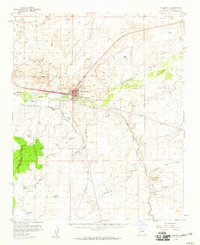
Editions of this 1955 Holbrook Map
2 editions found
Other maps of this area

1883 · Tusayan
USGS Topo · 1:250,000

1886 · St Johns
USGS Topo · 1:250,000

1886 · Tusayan
USGS Topo · 1:250,000

1886 · Fort Defiance
USGS Topo · 1:250,000

1886 · Holbrook
USGS Topo · 1:250,000

1892 · Fort Defiance
USGS Topo · 1:250,000

1892 · St Johns
USGS Topo · 1:250,000

1893 · Holbrook
USGS Topo · 1:250,000

1912 · Petrified Forest
USGS Topo · 1:62,500

1947 · Flagstaff
USGS Topo · 1:250,000