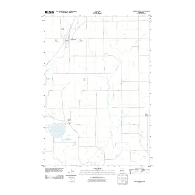
2010 Map of Holdingford
USGS Topo · Published 2010About this map
Holdingford serves as the primary hub of this central Minnesota landscape, where the Holdingford Post Office and several parish-linked burial grounds, such as Saint Marys Cemetery and Saint Hegwigs Cemetery, highlight the area's Catholic heritage and settlement patterns. The terrain is defined by the winding course of the South Two River and the meandering Spunk Creek, which flows southward through a quilt of rural agricultural plots. The inclusion of the Lake Wobegon Trl following the old railroad grade through the heart of town illustrates the transition of industrial corridors into recreational assets. To the south, the village of Saint Anna sits near the shores of Pelican Lake and Little Pelican Lake, anchored by the Immaculate Conception Cemetery, while Saint Wendel marks the eastern edge of this Stearns County region.
Find a feature on this map
47 named features on this map. Tap any name to fly to it.
Don’t see what you’re looking for? This feature index may not catch every label — zoom into the map to look around manually.
Map Details
Editions of this 2010 Holdingford Map
This is the sole edition of this map. No revisions or reprints were ever made.
Other maps of this area

1948 · Little Falls
USGS Topo · 1:62,500

1950 · Swanville
USGS Topo · 1:62,500

1950 · Little Falls
USGS Topo · 1:62,500

1953 · Saint Cloud
USGS Topo · 1:250,000

1957 · Saint Cloud
USGS Topo · 1:250,000

1958 · Saint Cloud
USGS Topo · 1:250,000

1965 · Albany
USGS Topo · 1:24,000

1965 · St Stephen
USGS Topo · 1:24,000

1965 · Farming
USGS Topo · 1:24,000

1965 · Holdingford
USGS Topo · 1:24,000