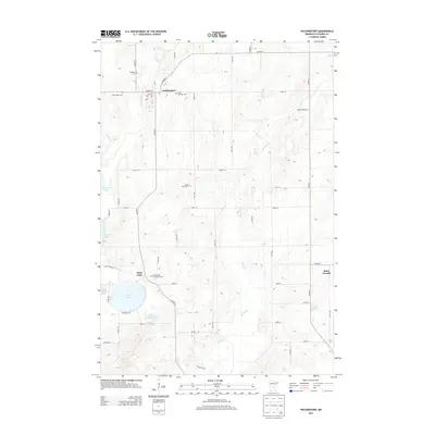
2013 Map of Holdingford
USGS Topo · Published 2013About this map
Holdingford serves as a primary hub of activity in this part of Stearns County, situated where Co HWY-17 and Co HWY-9 meet along the banks of the S Two River. The settlement pattern is defined by a cluster of civic and spiritual landmarks, including the local Post Office and a high concentration of burial grounds such as Highland Cem, Saint Marys Cem, and Saint Hegwigs Cem. To the south, the village of Saint Anna overlooks the expansive Pelican Lake, a significant water body flanked by Little Pelican Lake and Little Mud Lake.
Find a feature on this map
50 named features on this map. Tap any name to fly to it.
Don’t see what you’re looking for? This feature index may not catch every label — zoom into the map to look around manually.
Map Details
Editions of this 2013 Holdingford Map
This is the sole edition of this map. No revisions or reprints were ever made.
Other maps of this area

1948 · Little Falls
USGS Topo · 1:62,500

1950 · Swanville
USGS Topo · 1:62,500

1950 · Little Falls
USGS Topo · 1:62,500

1953 · Saint Cloud
USGS Topo · 1:250,000

1957 · Saint Cloud
USGS Topo · 1:250,000

1958 · Saint Cloud
USGS Topo · 1:250,000

1965 · Albany
USGS Topo · 1:24,000

1965 · St Stephen
USGS Topo · 1:24,000

1965 · Farming
USGS Topo · 1:24,000

1965 · Holdingford
USGS Topo · 1:24,000