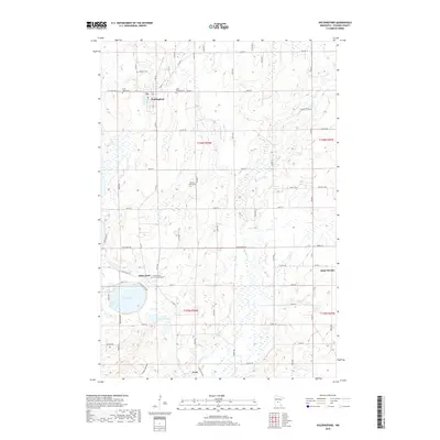
2019 Map of Holdingford
USGS Topo · Published 2019About this map
Holdingford and the surrounding Stearns County landscape are defined by a dense network of glacial lakes and small streams, including the meandering S Two River and Spunk Cr. The area is home to several well-established rural communities that maintain distinct identities through their local landmarks and places of rest. In the southern portion of the sheet, the waters of Pelican Lake and Little Pelican Lake dominate the terrain near Saint Anna and Avon.
Find a feature on this map
44 named features on this map. Tap any name to fly to it.
Don’t see what you’re looking for? This feature index may not catch every label — zoom into the map to look around manually.
Map Details
Editions of this 2019 Holdingford Map
This is the sole edition of this map. No revisions or reprints were ever made.
Other maps of this area

1948 · Little Falls
USGS Topo · 1:62,500

1950 · Swanville
USGS Topo · 1:62,500

1950 · Little Falls
USGS Topo · 1:62,500

1953 · Saint Cloud
USGS Topo · 1:250,000

1957 · Saint Cloud
USGS Topo · 1:250,000

1958 · Saint Cloud
USGS Topo · 1:250,000

1965 · Albany
USGS Topo · 1:24,000

1965 · St Stephen
USGS Topo · 1:24,000

1965 · Farming
USGS Topo · 1:24,000

1965 · Holdingford
USGS Topo · 1:24,000