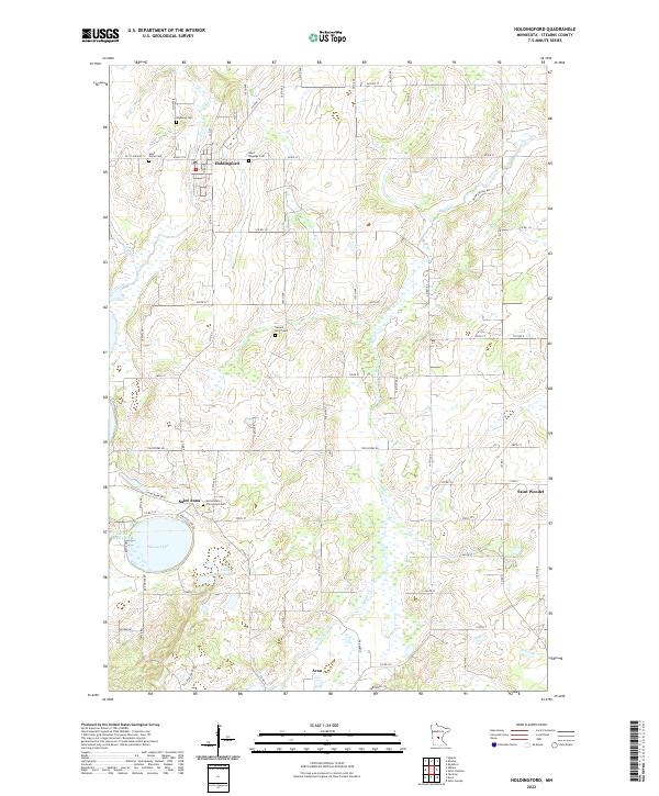
2022 Map of Holdingford
USGS Topo · Published 2022About this map
Holdingford sits near the northern boundary of this central Minnesota landscape, where the S Two River winds through a terrain defined by its glacial heritage and agricultural clusters. Several small communities and crossroads settlements populate the region, including Saint Anna near the shores of Pelican Lake and Saint Wendel to the east. The map reveals a high density of religious and civic landmarks essential for genealogical research, such as Saint Marys Ch and Saint Hegwigs Cem. The drainage patterns of Krain Cr and Spunk Cr influence the local geography, connecting various small water bodies like Little Mud Lake and Little Pelican Lake. This 2022 survey documents a contemporary view of these established rural townships, preserving the locations of family cemeteries and parish churches that have served the Stearns County area for generations.
Find a feature on this map
46 named features on this map. Tap any name to fly to it.
Don’t see what you’re looking for? This feature index may not catch every label — zoom into the map to look around manually.
Map Details
Editions of this 2022 Holdingford Map
This is the sole edition of this map. No revisions or reprints were ever made.
Other maps of this area

1948 · Little Falls
USGS Topo · 1:62,500

1950 · Swanville
USGS Topo · 1:62,500

1950 · Little Falls
USGS Topo · 1:62,500

1953 · Saint Cloud
USGS Topo · 1:250,000

1957 · Saint Cloud
USGS Topo · 1:250,000

1958 · Saint Cloud
USGS Topo · 1:250,000

1965 · Albany
USGS Topo · 1:24,000

1965 · St Stephen
USGS Topo · 1:24,000

1965 · Farming
USGS Topo · 1:24,000

1965 · Holdingford
USGS Topo · 1:24,000