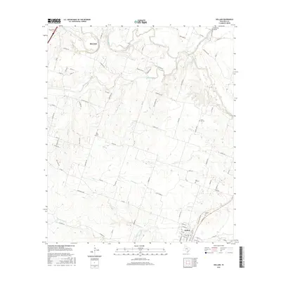
2016 Map of Holland
USGS Topo · Published 2016About this map
The confluence of the Leon River, Lampasas River, and Little River defines the hydrologic landscape of this Bell County region. Near the northern margin, the city of Belton extends into the quadrangle, while the southern portion is anchored by the town of Holland. The terrain is marked by numerous drainage systems, including the winding course of Salado Creek and Runnells Cr, which flow through a mix of agricultural plots and residential development. Local history is preserved through several rural burial sites, such as Bell Plains Cem and Post Oak Cem, which are tucked away from the main corridors. The topographic relief is punctuated by Hartrick Bluff overlooking the river bottoms, while the name Summers Mill along the creek suggests the area's early water-powered industry. A network of farm-to-market roads, such as FM 2268, connects these scattered settlements across the undulating prairie.
Find a feature on this map
84 named features on this map. Tap any name to fly to it.
Don’t see what you’re looking for? This feature index may not catch every label — zoom into the map to look around manually.
Map Details
Editions of this 2016 Holland Map
This is the sole edition of this map. No revisions or reprints were ever made.
Other maps of this area

1885 · Taylor
USGS Topo · 1:125,000

1887 · Taylor
USGS Topo · 1:125,000

1892 · Temple
USGS Topo · 1:125,000

1893 · Georgetown
USGS Topo · 1:125,000

1894 · Gatesville
USGS Topo · 1:125,000

1894 · Taylor
USGS Topo · 1:125,000

1924 · Gatesville 4-d
USGS Topo · 1:48,000

1924 · Temple 3-C
USGS Topo · 1:48,000

1930 · Killeen
USGS Topo · 1:62,500

1931 · Belton
USGS Topo · 1:62,500