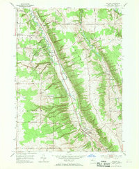
1955 Map of Holland
USGS Topo · Published 1970About this map
East Branch Cazenovia Creek serves as the central artery for this portion of Erie County, carving a valley that dictated the path of both the Pennsylvania railroad and the primary corridor between South Wales and Holland. The landscape is defined by its numerous family and community burial grounds, including Humphrey Cem, Joseph Cem, and Neischel Cem, which reflect the localized settlement patterns of the mid-20th century. High points like Vermont Hill and Crow Hill rise above a network of rural roads such as Reiter Road and Center Line Road. The map documents established local institutions such as the Gow Sch and the Hunter Creek Ch, providing a detailed look at the social geography of towns like Aurora and Wales before significant modern suburban expansion reached this rural landscape.
Find a feature on this map
46 named features on this map. Tap any name to fly to it.
Don’t see what you’re looking for? This feature index may not catch every label — zoom into the map to look around manually.
Map Details
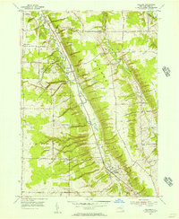
Editions of this 1955 Holland Map
2 editions found
Other maps of this area

1905 · Attica
USGS Topo · 1:62,500

1905 · Depew
USGS Topo · 1:62,500

1923 · Arcade
USGS Topo · 1:62,500

1925 · Springville
USGS Topo · 1:62,500

1925 · Arcade
USGS Topo · 1:62,500

1948 · Depew
USGS Topo · 1:62,500

1949 · Attica
USGS Topo · 1:62,500

1949 · Cowlesville
USGS Topo · 1:24,000
1950 · Orchard Park
USGS Topo · 1:24,000
1950 · East Aurora
USGS Topo · 1:24,000