
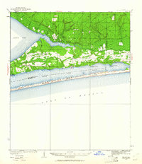
1936 Map of Holley
USGS Topo · Published 1936About this map
Choctawhatchee National Forest dominates the northern reaches of this survey, where the Indian Head Fire Tower stands watch over the dense timberlands and numerous Prairie Ponds. Along the waterfront, the small community of Holley sits near Holley Point, serving as a focal point for local life with the Holley Ch. The landscape transitions from the wooded interior to the intricate wetlands of East Bay Swamp and the coastal fringes of East Bay. To the south, the early development of Navarre and Wynnehaven Beach is visible along the mainland shore, looking across the Santa Rosa Sound toward the narrow barrier of Santa Rosa Island. This mid-1930s coastal mapping provides an important look at the region before the massive post-war expansion of beach tourism, showing the established roads and scattered camps like Camp 15 that once defined the Santa Rosa County shoreline.
Find a feature on this map
30 named features on this map. Tap any name to fly to it.
Don’t see what you’re looking for? This feature index may not catch every label — zoom into the map to look around manually.
Map Details
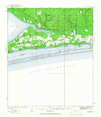
Editions of this 1936 Holley Map
3 editions found
Other maps of this area

1920 · Milton
USGS Topo · 1:62,500

1921 · Holley
USGS Topo · 1:62,500

1921 · Pensacola
USGS Topo · 1:62,500

1934 · Holt
USGS Topo · 1:48,000

1934 · Harold
USGS Topo · 1:62,500

1937 · Holt
USGS Topo · 1:62,500

1937 · Harold
USGS Topo · 1:62,500

1938 · Mary Esther
USGS Topo · 1:62,500

1938 · Holley
USGS Topo · 1:62,500

1938 · Harold
USGS Topo · 1:62,500