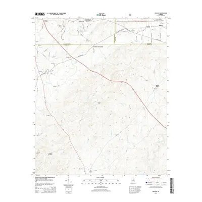
2014 Map of Hollins
USGS Topo · Published 2014About this map
The Weogufka Mountains and the sprawling Talladega National Forest dominate this central Alabama landscape, where the borders of Talladega, Coosa, and Clay counties converge. This area is characterized by high ridges like Locust Mtn and Terrapin Hill, cut through by gaps such as Tanyard Hill Gap and Deep Cut Gap. Small settlements and rural crossroads like Holman Crossroads and Hollins are connected by a network of county roads and the arterial US Highway 280.
Find a feature on this map
83 named features on this map. Tap any name to fly to it.
Don’t see what you’re looking for? This feature index may not catch every label — zoom into the map to look around manually.
Map Details
Editions of this 2014 Hollins Map
This is the sole edition of this map. No revisions or reprints were ever made.
Other maps of this area

1890 · Talladega
USGS Topo · 1:125,000

1892 · Talladega
USGS Topo · 1:125,000

1901 · Wetumpka
USGS Topo · 1:125,000

1903 · Wetumpka
USGS Topo · 1:125,000

1915 · Gantts Quarry
USGS Topo · 1:48,000

1917 · Gantts Quarry
USGS Topo · 1:62,500

1944 · Goodwater
USGS Topo · 1:62,500

1947 · Goodwater
USGS Topo · 1:62,500

1953 · Montgomery
USGS Topo · 1:250,000

1953 · Birmingham
USGS Topo · 1:250,000