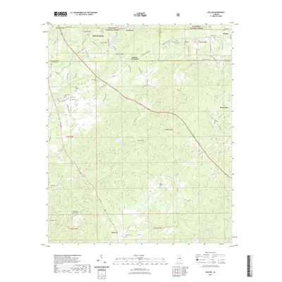
2021 Map of Hollins
USGS Topo · Published 2021About this map
Sylacauga and the southern reaches of the Talladega National Forest dominate the northern landscape of this quadrangle, where the terrain transitions into the Weogufka Mountains. The area is defined by a series of prominent peaks and gaps, including Tanyard Hill, Locust Mtn, and Terrapin Hill, which influence the local road network. Smaller settlements such as Holman Crossroads, Overbrook, and Hanover are scattered throughout the region, often centered around family and community landmarks. For genealogists and local historians, this survey is exceptionally detailed regarding burial sites, recording Old Bethany Cem, Hollins Springs Cem, Stewartville Cem, and many others. The drainage pattern is led by Hatchet Creek and Weogufka Cr, which carve through the ridges, while smaller features like Wiches Spring and Lake Joy provide localized water sources in the more developed northern sections.
Find a feature on this map
96 named features on this map. Tap any name to fly to it.
Don’t see what you’re looking for? This feature index may not catch every label — zoom into the map to look around manually.
Map Details
Editions of this 2021 Hollins Map
This is the sole edition of this map. No revisions or reprints were ever made.
Other maps of this area

1890 · Talladega
USGS Topo · 1:125,000

1892 · Talladega
USGS Topo · 1:125,000

1901 · Wetumpka
USGS Topo · 1:125,000

1903 · Wetumpka
USGS Topo · 1:125,000

1915 · Gantts Quarry
USGS Topo · 1:48,000

1917 · Gantts Quarry
USGS Topo · 1:62,500

1944 · Goodwater
USGS Topo · 1:62,500

1947 · Goodwater
USGS Topo · 1:62,500

1953 · Montgomery
USGS Topo · 1:250,000

1953 · Birmingham
USGS Topo · 1:250,000