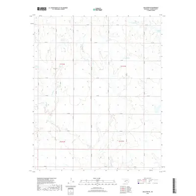
2018 Map of Hollister NE
USGS Topo · Published 2018About this map
Dickerson Cem serves as a notable historic landmark in this corner of Tillman County, situated amidst a landscape defined by the drainage systems of Deep Red Cr and Horse Cr. The area is characterized by a grid of rural section roads, including E1770 Rd and N2330 Rd, which navigate around numerous small bodies of water such as Kinder Lake and various numbered catchments like 141012 Reservoir. The presence of these reservoirs alongside named waterways like Deadman Cr and Jack Cr indicates a highly managed hydraulic environment within the Red River watershed. This survey captures the agrarian layout of the region as it appeared in the late 2010s, providing a clear record of property boundaries and local topography between the townships of t1s r16w and t1s r15w.
Find a feature on this map
33 named features on this map. Tap any name to fly to it.
Don’t see what you’re looking for? This feature index may not catch every label — zoom into the map to look around manually.
Map Details
Editions of this 2018 Hollister NE Map
This is the sole edition of this map. No revisions or reprints were ever made.
Other maps of this area
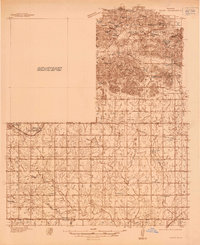
1937 · Cache
USGS Topo · 1:48,000
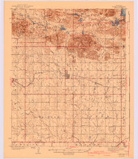
1942 · Cache
USGS Topo · 1:62,500
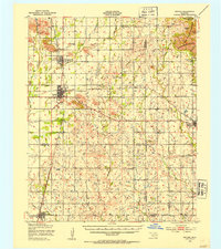
1950 · Snyder
USGS Topo · 1:62,500
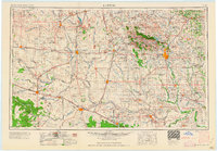
1955 · Lawton
USGS Topo · 1:250,000
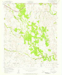
1956 · Post Oak Creek
USGS Topo · 1:24,000
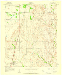
1956 · Manitou
USGS Topo · 1:24,000
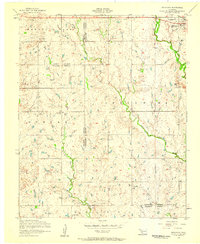
1956 · Indiahoma
USGS Topo · 1:24,000
1956 · Cache
USGS Topo · 1:62,500
1956 · Snyder
USGS Topo · 1:62,500
1962 · Chattanooga
USGS Topo · 1:62,500