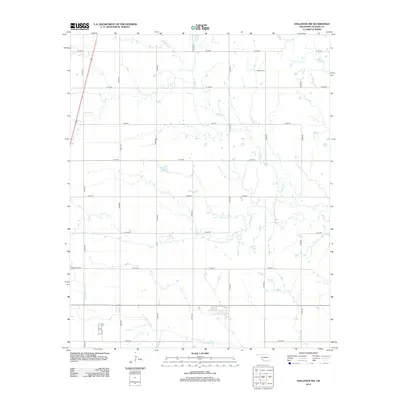
2012 Map of Hollister NW
USGS Topo · Published 2012About this map
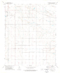
Bethel Cem sits in the northern reaches of this Tillman County landscape, serving as a primary point of interest for genealogists tracing family histories in the rural expanses north of Frederick. The terrain is defined by the winding paths of Deep Red Cr and Little Deep Red Cr, which intersect a strictly partitioned grid of agricultural access roads. The transit network is anchored by US Highway 183 in the west and an extensive section-line system including E1800 Rd and N2260 Rd. This 2012 survey illustrates the enduring rural character of southwestern Oklahoma, where the drainage of Deadman Cr influences the placement of farmsteads and field boundaries across the prairie.
Find a feature on this map
21 named features on this map. Tap any name to fly to it.
Don’t see what you’re looking for? This feature index may not catch every label — zoom into the map to look around manually.
Map Details
Editions of this 2012 Hollister NW Map
This is the sole edition of this map. No revisions or reprints were ever made.
Other maps of this area
1950 · Snyder
USGS Topo · 1:62,500

1955 · Lawton
USGS Topo · 1:250,000
1956 · Manitou
USGS Topo · 1:24,000
1956 · Indiahoma
USGS Topo · 1:24,000
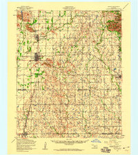
1956 · Snyder
USGS Topo · 1:62,500
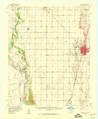
1958 · Frederick
USGS Topo · 1:62,500
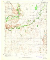
1964 · Tipton SE
USGS Topo · 1:24,000
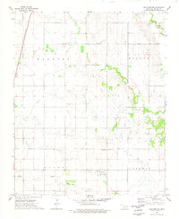
1974 · Hollister NW
USGS Topo · 1:24,000
1974 · Hackberry Flat
USGS Topo · 1:24,000
1974 · Hollister
USGS Topo · 1:24,000