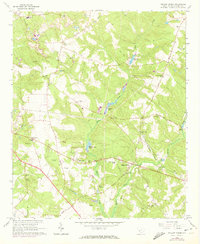
1964 Map of Hollow Creek
USGS Topo · Published 1973About this map
Claypits and small-scale mining operations dot the landscape of Aiken County in this mid-century survey, revealing an economy built on the region's natural resources. The settlement pattern is defined by a dense network of country churches and rural schools, such as Spiderweb Ch and Sleepy Hollow Sch, which served as the social anchors for dispersed residents. Water is a central feature of the terrain, with Town Creek and its many impoundments, including Johnsons Lake and McElmurray Pond, providing essential drainage and recreation for the local communities.
Find a feature on this map
54 named features on this map. Tap any name to fly to it.
Don’t see what you’re looking for? This feature index may not catch every label — zoom into the map to look around manually.
Map Details
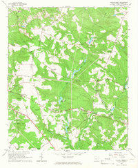
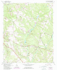
Editions of this 1964 Hollow Creek Map
3 editions found
Other maps of this area

1920 · Aiken
USGS Topo · 1:48,000

1920 · Talatha
USGS Topo · 1:48,000

1921 · Augusta
USGS Topo · 1:62,500

1921 · Aiken
USGS Topo · 1:62,500

1921 · Talatha
USGS Topo · 1:62,500

1923 · Warrenville
USGS Topo · 1:48,000

1928 · Warrenville
USGS Topo · 1:62,500

1943 · Aiken
USGS Topo · 1:62,500

1943 · Augusta East
USGS Topo · 1:125,000

1943 · Warrenville
USGS Topo · 1:62,500