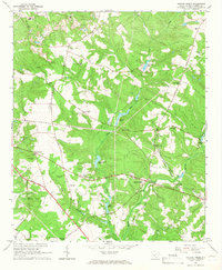
1964 Map of Hollow Creek
USGS Topo · Published 1966About this map
Town Creek and its many tributaries, including Long Branch and Westerfield Br, define the drainage patterns of this Aiken County landscape during the mid-1960s. The area is characterized by an extensive network of rural community centers, notably the settlement at Spiderweb and the cluster of activity around Hollow Creek. This region shows a high density of spiritual and educational landmarks, with numerous small congregations such as Indian Grove Ch and Zion Hill Ch serving the local population alongside facilities like the Sleepy Hollow Sch.
Find a feature on this map
47 named features on this map. Tap any name to fly to it.
Don’t see what you’re looking for? This feature index may not catch every label — zoom into the map to look around manually.
Map Details
Editions of this 1964 Hollow Creek Map
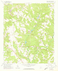
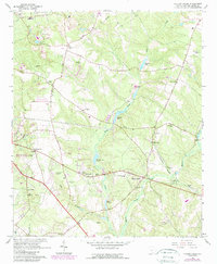
3 editions found
Other maps of this area

1920 · Aiken
USGS Topo · 1:48,000

1920 · Talatha
USGS Topo · 1:48,000

1921 · Augusta
USGS Topo · 1:62,500

1921 · Aiken
USGS Topo · 1:62,500

1921 · Talatha
USGS Topo · 1:62,500

1923 · Warrenville
USGS Topo · 1:48,000

1928 · Warrenville
USGS Topo · 1:62,500

1943 · Aiken
USGS Topo · 1:62,500

1943 · Augusta East
USGS Topo · 1:125,000

1943 · Warrenville
USGS Topo · 1:62,500