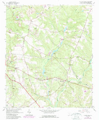
1964 Map of Hollow Creek
USGS Topo · Published 1989About this map
Spiderweb and the small settlement of Hollow Creek define the rural landscape of this Aiken County terrain in the mid-1960s. The area is marked by a high density of community centers and spiritual landmarks, including The Tabernacle, Capers Chapel, and numerous smaller houses of worship like Galilee Ch and Runn Ch. The presence of several schools, such as Downer Sch and Sleepy Hollow Sch, alongside Redcliffe State Park, points to a long-established social fabric.
Find a feature on this map
56 named features on this map. Tap any name to fly to it.
Don’t see what you’re looking for? This feature index may not catch every label — zoom into the map to look around manually.
Map Details
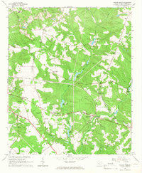
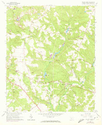
Editions of this 1964 Hollow Creek Map
3 editions found
Other maps of this area

1920 · Aiken
USGS Topo · 1:48,000

1920 · Talatha
USGS Topo · 1:48,000

1921 · Augusta
USGS Topo · 1:62,500

1921 · Aiken
USGS Topo · 1:62,500

1921 · Talatha
USGS Topo · 1:62,500

1923 · Warrenville
USGS Topo · 1:48,000

1928 · Warrenville
USGS Topo · 1:62,500

1943 · Aiken
USGS Topo · 1:62,500

1943 · Augusta East
USGS Topo · 1:125,000

1943 · Warrenville
USGS Topo · 1:62,500