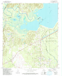
1972 Map of Holloway
USGS Topo · Published 1993About this map
The meandering Little River and the expansive Catahoula Lake dominate this Louisiana landscape, reflecting the intricate hydrology of the Red River valley during the early 1970s. Industrial activity is prominently mapped through the South Catahoula Oil Field, West Saline Lake Oil Field, and Big Island Oil Field, showing the extensive network of drill holes and pipelines that defined the local economy. The settlement of Holloway sits near the western edge, adjacent to the Camp Beauregard military reservation.
Find a feature on this map
34 named features on this map. Tap any name to fly to it.
Don’t see what you’re looking for? This feature index may not catch every label — zoom into the map to look around manually.
Map Details
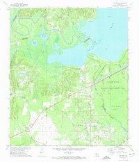
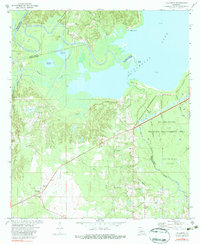
Editions of this 1972 Holloway Map
3 editions found
Other maps of this area

1936 · Pollock
USGS Topo · 1:62,500

1941 · Jena
USGS Topo · 1:62,500

1941 · Alexandria
USGS Topo · 1:62,500

1941 · Buckeye
USGS Topo · 1:62,500

1941 · Pollock
USGS Topo · 1:62,500

1953 · Alexandria
USGS Topo · 1:250,000

1955 · Alexandria
USGS Topo · 1:250,000

1957 · Alexandria
USGS Topo · 1:62,500

1958 · Pollock
USGS Topo · 1:62,500

1958 · Jena
USGS Topo · 1:62,500