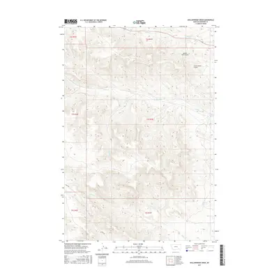
2017 Map of Hollowwood Creek
USGS Topo · Published 2017About this map
Hollowwood Cr and its many tributaries carve through the drainages of Rosebud County in this modern-era documentation. The landscape is defined by its water sources and erosion patterns, featuring distinctive terrain like Walking Horse Coulee and Little Coyote Coulee in the northeastern section. Towards the south, Bighead Reservoir serves as a significant landmark for local hydrology, while Birney Rd provides one of the few established access routes through these hills. This 2017 survey by the U.S. Geological Survey maps the intricate network of seasonal and permanent flows, including Logging Cr, Stebbins Cr, and the isolated Patrick Spring. The map provides a detailed look at the Public Land Survey System (PLSS) grid, showing the township and range divisions between T2S and T4S that underpin land ownership in this part of Montana.
Find a feature on this map
18 named features on this map. Tap any name to fly to it.
Don’t see what you’re looking for? This feature index may not catch every label — zoom into the map to look around manually.
Map Details
Editions of this 2017 Hollowwood Creek Map
This is the sole edition of this map. No revisions or reprints were ever made.
Other maps of this area

1954 · Hardin
USGS Topo · 1:250,000

1957 · Hardin
USGS Topo · 1:250,000

1958 · Hardin
USGS Topo · 1:250,000

1958 · Garfield Peak
USGS Topo · 1:24,000

1958 · Fisher Butte
USGS Topo · 1:24,000

1958 · Badger Peak
USGS Topo · 1:24,000

1958 · Hollowwood Creek
USGS Topo · 1:24,000

1966 · Ashland
USGS Topo · 1:24,000

1966 · Birney Day School
USGS Topo · 1:24,000

1966 · Ashland NE
USGS Topo · 1:24,000