2000 Map of Holly Springs
USGS Topo · Published 2003About this map
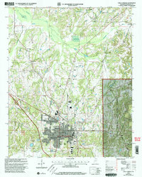
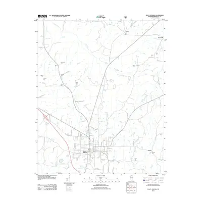
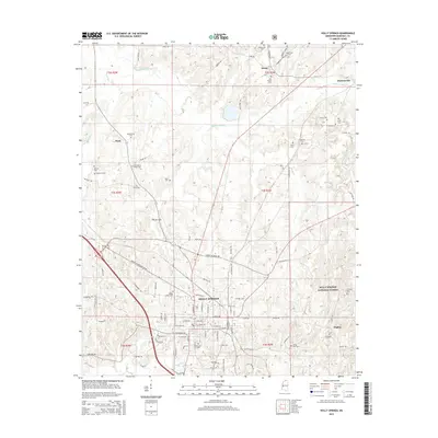
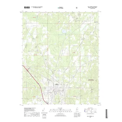
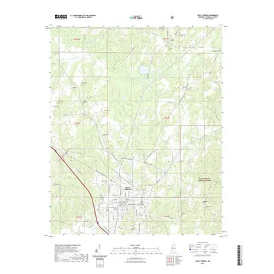
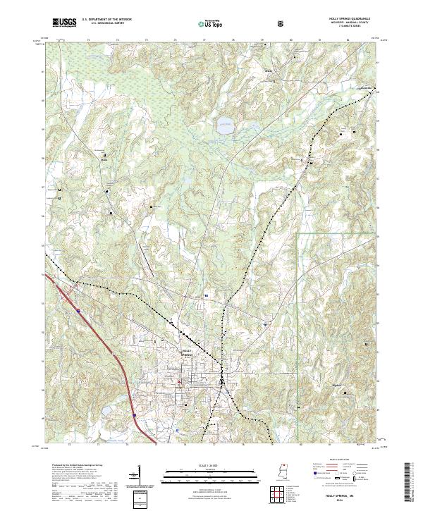
Mississippi Industrial College and Rust College stand as prominent educational landmarks in the northern reaches of Holly Springs, Mississippi, at the turn of the millennium. This detail-rich survey, revised by the Forest Service, captures the town's academic and religious core alongside the rugged eastern edge of the Holly Springs National Forest. The landscape is densely populated with family and church-affiliated burial grounds, from the centrally located Hillcrest Cem to the outlying Bishop Cottrell Cem and McAlexander Cem. Beyond the city center, the terrain transitions into the bottomlands of the Coldwater River and Doubtful Creek. Small rural communities like Hudsonville and Atway are documented with their respective local churches, such as Hudsonville Ch and Finley Chapel, reflecting the enduring settlement patterns of Marshall County.
Find a feature on this map
42 named features on this map. Tap any name to fly to it.
Don’t see what you’re looking for? This feature index may not catch every label — zoom into the map to look around manually.
Map Details
Editions of this 2000 Holly Springs Map
This is the sole edition of this map. No revisions or reprints were ever made.
Historical Maps of Holly Springs Through Time
9 maps found
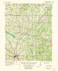
1953 Holly Springs
Marshall County, MS
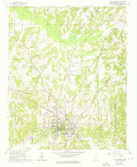
1965 Holly Springs
Marshall County, MS
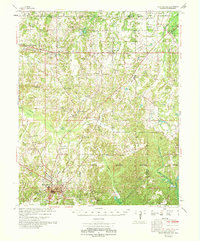
1969 Holly Springs
Marshall County, MS
2000 Holly Springs
Marshall County, MS
2012 Holly Springs
Marshall County, MS
2015 Holly Springs
Marshall County, MS
2018 Holly Springs
Marshall County, MS
2021 Holly Springs
Marshall County, MS
2024 Holly Springs
Marshall County, MS