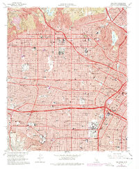
1966 Map of Hollywood
USGS Topo · Published 1975About this map
The urban sprawl of mid-century Los Angeles is captured in immense detail, showing the intersection of entertainment industry landmarks and established residential neighborhoods. Hollywood serves as a central hub, where world-famous institutions like Paramount Studios, Columbia Pictures Studios, and Desilu Studios sit alongside the Hollywood Memorial Park (Cem). The map reveals a densely built landscape defined by its major thoroughfares, including the Hollywood Freeway and Sunset Blvd, and its civic icons like the Hollywood Bowl and Griffith Observatory overlooking the basin.
Find a feature on this map
178 named features on this map. Tap any name to fly to it.
Don’t see what you’re looking for? This feature index may not catch every label — zoom into the map to look around manually.
Map Details
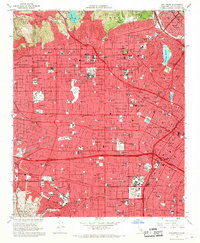
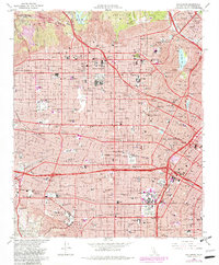
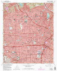
Editions of this 1966 Hollywood Map
4 editions found
Other maps of this area

1894 · Los Angeles
USGS Topo · 1:62,500

1896 · Pasadena
USGS Topo · 1:62,500

1896 · Redondo
USGS Topo · 1:62,500

1896 · Santa Monica
USGS Topo · 1:62,500

1896 · Downey
USGS Topo · 1:62,500

1898 · Santa Monica
USGS Topo · 1:62,500

1899 · Downey
USGS Topo · 1:62,500

1900 · Pasadena
USGS Topo · 1:62,500

1900 · Los Angeles
USGS Topo · 1:62,500

1901 · Southern California Sheet No. 1
USGS Topo · 1:250,000