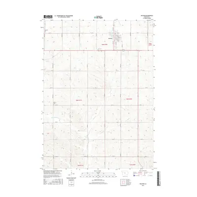
2015 Map of Holstein
USGS Topo · Published 2015About this map
Holstein serves as the primary hub in this northwestern Iowa landscape, where a dense grid of township roads organizes the surrounding agricultural territory. The town's street names, including S Altona St, S Lubeck St, and S Kiefer St, reflect the heritage of the settlers who established this community in Ida County. Beyond the town limits, the terrain is defined by the drainage network of Battle Cr and its tributaries, such as W Fork Battle Cr and E Fork Battle Cr. For genealogists, the map identifies several significant burial sites across the township, including the Norwegian Cem, Olgc Cem, and Battle Township Cem. The transition from the structured residential blocks of Holstein to the wide reaches of the prairie illustrates the enduring rural-urban relationship of the region, while landmarks like Grell Pond provide specific points of local interest.
Find a feature on this map
47 named features on this map. Tap any name to fly to it.
Don’t see what you’re looking for? This feature index may not catch every label — zoom into the map to look around manually.
Map Details
Editions of this 2015 Holstein Map
This is the sole edition of this map. No revisions or reprints were ever made.
Other maps of this area
1954 · Fort Dodge
USGS Topo · 1:250,000
1957 · Fort Dodge
USGS Topo · 1:250,000
1958 · Fort Dodge
USGS Topo · 1:250,000
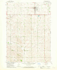
1967 · Holstein
USGS Topo · 1:24,000
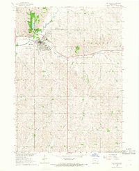
1967 · Ida Grove
USGS Topo · 1:24,000
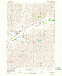
1967 · Battle Creek
USGS Topo · 1:24,000
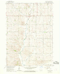
1967 · Ida Grove NW
USGS Topo · 1:24,000
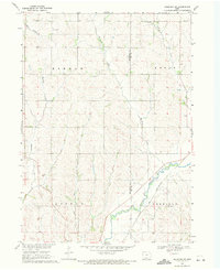
1969 · Holstein SW
USGS Topo · 1:24,000
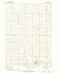
1969 · Galva
USGS Topo · 1:24,000
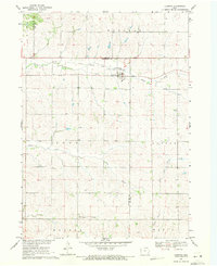
1969 · Cushing
USGS Topo · 1:24,000