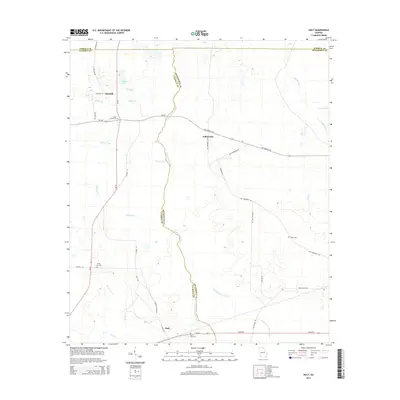
2014 Map of Holt
USGS Topo · Published 2014About this map
Chickasawhatchee Creek serves as a natural boundary dividing the landscape of Calhoun and Dougherty counties. This portion of Southwest Georgia is defined by an intricate network of waterways and ponds, including Suddeth Lake and Yancey Pond, which suggest a terrain of lowland drainage and agricultural potential. Small rural communities like Gillionville, Holt, and Oak Hill are connected by a grid of named roads such as Gillionville Rd and Old Thompson Rd. Local history and genealogy are preserved in the numerous churchyards and burial sites scattered throughout the area, notably Saint Lukes Cem, Saint Paul Cem, and Salem Cem. The map illustrates a contemporary rural environment where the placement of legacy cemeteries and older road names like Laing Dirt Rd continue to mark the historical footprint of these established farming settlements.
Find a feature on this map
45 named features on this map. Tap any name to fly to it.
Don’t see what you’re looking for? This feature index may not catch every label — zoom into the map to look around manually.
Map Details
Editions of this 2014 Holt Map
This is the sole edition of this map. No revisions or reprints were ever made.
Other maps of this area

1953 · Dothan
USGS Topo · 1:250,000

1954 · Dothan
USGS Topo · 1:250,000

1955 · Dothan
USGS Topo · 1:250,000

1956 · Newton
USGS Topo · 1:62,500

1956 · Sasser
USGS Topo · 1:62,500

1973 · Morgan
USGS Topo · 1:24,000

1973 · Chickasawhatchee
USGS Topo · 1:24,000

1973 · Sasser
USGS Topo · 1:24,000

1973 · Pretoria
USGS Topo · 1:24,000
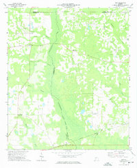
1973 · Holt
USGS Topo · 1:24,000