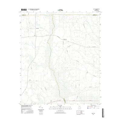
2017 Map of Holt
USGS Topo · Published 2017About this map
The Chickasawhatchee Cr drainage system dominates the landscape of this Southwest Georgia region, where the borders of Dougherty, Calhoun, and Terrell Counties converge. The small settlements of Holt, Gillionville, and Oak Hill are connected by a network of rural routes, including the historically named Old Tallassee Trail Rd and Gillionville RD. These communities are defined by their proximity to various watercourses like Spring Creek and Tallassee Cr, which feed into the wider wetlands and tributaries of the area.
Find a feature on this map
39 named features on this map. Tap any name to fly to it.
Don’t see what you’re looking for? This feature index may not catch every label — zoom into the map to look around manually.
Map Details
Editions of this 2017 Holt Map
This is the sole edition of this map. No revisions or reprints were ever made.
Other maps of this area

1953 · Dothan
USGS Topo · 1:250,000

1954 · Dothan
USGS Topo · 1:250,000

1955 · Dothan
USGS Topo · 1:250,000

1956 · Newton
USGS Topo · 1:62,500

1956 · Sasser
USGS Topo · 1:62,500

1973 · Morgan
USGS Topo · 1:24,000

1973 · Chickasawhatchee
USGS Topo · 1:24,000

1973 · Sasser
USGS Topo · 1:24,000

1973 · Pretoria
USGS Topo · 1:24,000
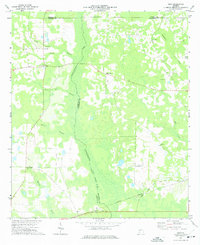
1973 · Holt
USGS Topo · 1:24,000