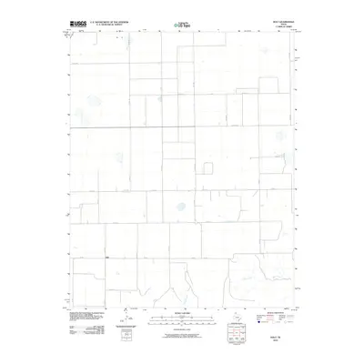
2010 Map of Holt
USGS Topo · Published 2010About this map
Holt anchors this portion of the Texas Panhandle, situated within a vast grid of county roads that define the region's agricultural layout. The settlement sits along Fm 281, serving as a focal point for the surrounding rural landscape in Hutchinson County. To the south and east, the geometric precision of the section lines is interrupted by the natural drainage patterns of Adobe Creek and Johns Creek, which carve winding paths through the plains. The map reflects a landscape organized around ranching and farming, where long-established routes like Farm Rd 281 and Fm 760 facilitate movement across the wide intervals between homesteads. These waterways provide a stark contrast to the rigid alignment of roads such as Co Rd 23 and Co Rd CC, indicating how the local topography influences the placement of regional infrastructure.
Find a feature on this map
20 named features on this map. Tap any name to fly to it.
Don’t see what you’re looking for? This feature index may not catch every label — zoom into the map to look around manually.
Map Details
Editions of this 2010 Holt Map
This is the sole edition of this map. No revisions or reprints were ever made.
Other maps of this area

1953 · Stinnett Station
USGS Topo · 1:24,000

1954 · Perryton
USGS Topo · 1:250,000

1954 · Amarillo
USGS Topo · 1:250,000

1958 · Perryton
USGS Topo · 1:250,000

1958 · Amarillo
USGS Topo · 1:250,000

1962 · Hansford
USGS Topo · 1:24,000

1962 · Spearman
USGS Topo · 1:24,000

1971 · Garden Springs
USGS Topo · 1:24,000

1973 · Spearman NE
USGS Topo · 1:24,000

1973 · Spearman SE
USGS Topo · 1:24,000