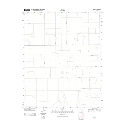
2012 Map of Holt
USGS Topo · Published 2012About this map
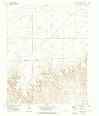
The small settlement of Holt sits at the intersection of several rural transportation routes in the Texas Panhandle, anchoring a landscape dominated by a rigid grid of county roads. Flowing through the southern portion of the quadrangle, Adobe Cr and Johns Cr break the geometric regularity of the section lines, providing natural drainage for this high plains region. The map illustrates a network of local infrastructure essential to the area's agricultural and ranching operations, including Ranch Road 760 and the east-west corridor of Fm-281. This 2012 survey captures the sparse distribution of structures and water resources that characterize the rural development of Hutchinson County, where industrial and farming access is facilitated by labeled routes such as Co Road BB and Co Road A.
Find a feature on this map
19 named features on this map. Tap any name to fly to it.
Don’t see what you’re looking for? This feature index may not catch every label — zoom into the map to look around manually.
Map Details
Editions of this 2012 Holt Map
This is the sole edition of this map. No revisions or reprints were ever made.
Other maps of this area
1953 · Stinnett Station
USGS Topo · 1:24,000

1954 · Perryton
USGS Topo · 1:250,000
1954 · Amarillo
USGS Topo · 1:250,000

1958 · Perryton
USGS Topo · 1:250,000
1958 · Amarillo
USGS Topo · 1:250,000
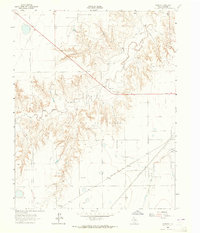
1962 · Hansford
USGS Topo · 1:24,000
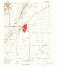
1962 · Spearman
USGS Topo · 1:24,000
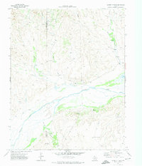
1971 · Garden Springs
USGS Topo · 1:24,000
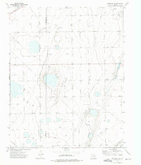
1973 · Spearman NE
USGS Topo · 1:24,000
1973 · Spearman SE
USGS Topo · 1:24,000