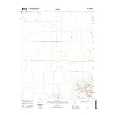
2016 Map of Holt
USGS Topo · Published 2016About this map
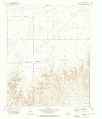
Holt Cem serves as a quiet landmark in this High Plains landscape, situated just south of the boundary line between Hansford Co and Hutchinson Co. The terrain is characterized by the expansive tabletop flats typical of the Texas Panhandle, interrupted only by the sudden, deep incision of Johns Creek in the southeastern corner. This drainage, also labeled Johns Cr, reveals the complex canyon systems that carve into the Caprock, providing a stark contrast to the surrounding agricultural grid. A network of ranch roads and farm-to-market routes, including FM 281 and FM 760, dictates the movement across the territory, connecting isolated homesteads and livestock operations to the larger region. The map reflects a modern era of rural life where petroleum development and large-scale ranching coexist within a meticulously surveyed section-line framework.
Find a feature on this map
19 named features on this map. Tap any name to fly to it.
Don’t see what you’re looking for? This feature index may not catch every label — zoom into the map to look around manually.
Map Details
Editions of this 2016 Holt Map
This is the sole edition of this map. No revisions or reprints were ever made.
Other maps of this area
1953 · Stinnett Station
USGS Topo · 1:24,000

1954 · Perryton
USGS Topo · 1:250,000
1954 · Amarillo
USGS Topo · 1:250,000

1958 · Perryton
USGS Topo · 1:250,000
1958 · Amarillo
USGS Topo · 1:250,000
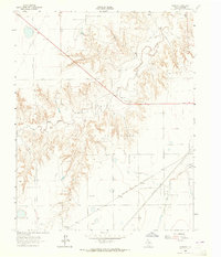
1962 · Hansford
USGS Topo · 1:24,000
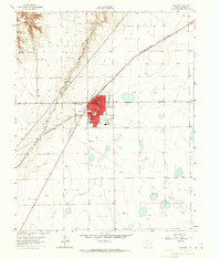
1962 · Spearman
USGS Topo · 1:24,000
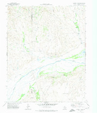
1971 · Garden Springs
USGS Topo · 1:24,000
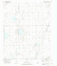
1973 · Spearman NE
USGS Topo · 1:24,000
1973 · Spearman SE
USGS Topo · 1:24,000