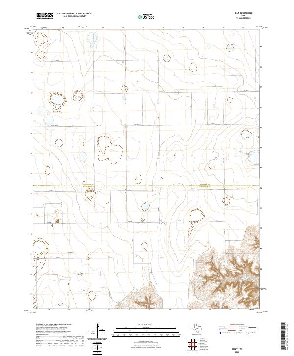
2022 Map of Holt
USGS Topo · Published 2022About this map
The Hansford Co and Hutchinson Co line bisects this portion of the Texas Panhandle, a landscape defined by the straight lines of the High Plains road grid and the stark relief of its northern canyons. The lone named site of local historical importance is Holt Cem, which stands near the intersection of Fm 281 and Co RD 23. This cemetery remains a vital link to the early farming and ranching families of the Holt community in an area now dominated by sprawling agricultural tracts.
Find a feature on this map
18 named features on this map. Tap any name to fly to it.
Don’t see what you’re looking for? This feature index may not catch every label — zoom into the map to look around manually.
Map Details
Editions of this 2022 Holt Map
This is the sole edition of this map. No revisions or reprints were ever made.
Other maps of this area

1953 · Stinnett Station
USGS Topo · 1:24,000

1954 · Perryton
USGS Topo · 1:250,000

1954 · Amarillo
USGS Topo · 1:250,000

1958 · Perryton
USGS Topo · 1:250,000

1958 · Amarillo
USGS Topo · 1:250,000

1962 · Hansford
USGS Topo · 1:24,000

1962 · Spearman
USGS Topo · 1:24,000

1971 · Garden Springs
USGS Topo · 1:24,000

1973 · Spearman NE
USGS Topo · 1:24,000

1973 · Spearman SE
USGS Topo · 1:24,000