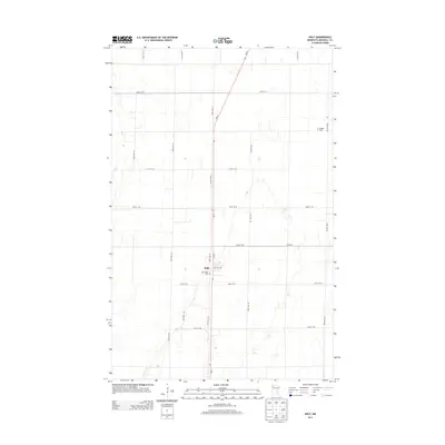
2013 Map of Holt
USGS Topo · Published 2013About this map
The small community of Holt serves as the central point of this Marshall County survey, situated at the intersection of Mn-32, Lincoln Ave, and 1st St. The landscape is characterized by a precise grid of rural roads, including 330th St NE and 120th Ave NE, which divide the flat agricultural terrain of northwestern Minnesota. Genealogists will find interest in the documented locations of Sandridge Cem located just south of the town center and Ringbo Cem positioned to the northeast along 160th Ave NE. The presence of Old Ridge Rd suggests an older travel route that predates the modern highway system, cutting diagonally across the standard section lines southwest of the main settlement.
Find a feature on this map
20 named features on this map. Tap any name to fly to it.
Don’t see what you’re looking for? This feature index may not catch every label — zoom into the map to look around manually.
Map Details
Editions of this 2013 Holt Map
This is the sole edition of this map. No revisions or reprints were ever made.
Other maps of this area
1918 · Viking
USGS Topo · 1:62,500
1918 · Middle River
USGS Topo · 1:62,500
1943 · Thief River Falls
USGS Topo · 1:62,500

1952 · Thief River Falls
USGS Topo · 1:250,000

1956 · Thief River Falls
USGS Topo · 1:250,000

1957 · Thief River Falls
USGS Topo · 1:250,000
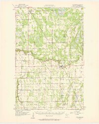
1957 · Newfolden
USGS Topo · 1:62,500
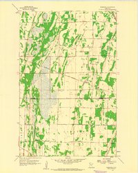
1959 · Rosewood
USGS Topo · 1:24,000
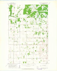
1961 · Thief River Falls NE
USGS Topo · 1:24,000
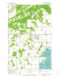
1961 · Middle River NE
USGS Topo · 1:24,000