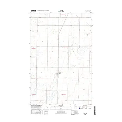
2016 Map of Holt
USGS Topo · Published 2016About this map
Holt serves as the primary hub of this northwestern Minnesota landscape, where the intersection of Marshall Ave and Lincoln Ave anchors the local community. The terrain is defined by a grid of rural sections, interspersed with wetland pockets and the low-relief contours of Marshall County. For those tracing family histories or early land use, the map identifies two key burial grounds: Sandridge Cem located near the heart of town and Ringbo Cem situated further east along the northern township line. These features, combined with the presence of Old Ridge Rd, suggest the area's geological history of ancient beach ridges and glacial lake deposits, which influenced early travel routes and settlement patterns throughout the region. A network of county highways, including Co Hwy 7 and Co Hwy 28, connects the isolated farmsteads and agricultural plots that dominate the township.
Find a feature on this map
21 named features on this map. Tap any name to fly to it.
Don’t see what you’re looking for? This feature index may not catch every label — zoom into the map to look around manually.
Map Details
Editions of this 2016 Holt Map
This is the sole edition of this map. No revisions or reprints were ever made.
Other maps of this area
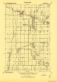
1918 · Viking
USGS Topo · 1:62,500
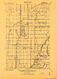
1918 · Middle River
USGS Topo · 1:62,500
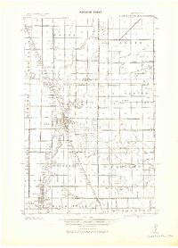
1943 · Thief River Falls
USGS Topo · 1:62,500

1952 · Thief River Falls
USGS Topo · 1:250,000

1956 · Thief River Falls
USGS Topo · 1:250,000

1957 · Thief River Falls
USGS Topo · 1:250,000
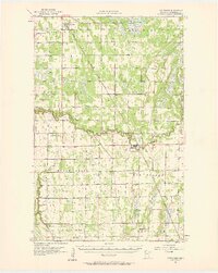
1957 · Newfolden
USGS Topo · 1:62,500
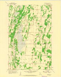
1959 · Rosewood
USGS Topo · 1:24,000
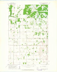
1961 · Thief River Falls NE
USGS Topo · 1:24,000
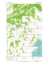
1961 · Middle River NE
USGS Topo · 1:24,000