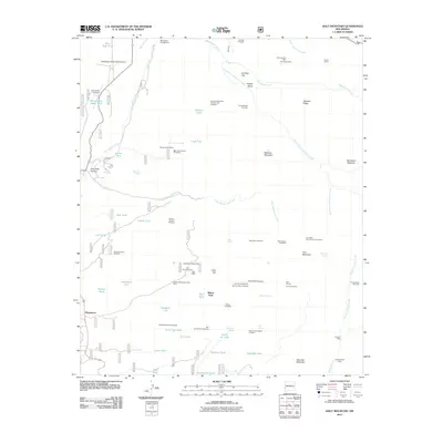
2011 Map of Holt Mountain
USGS Topo · Published 2011About this map
Pleasanton sits along the western edge of this terrain, where the landscape transitions into the high peaks of the Gila National Forest. This area is defined by a deep history of prospecting and mineral extraction, evidenced by the numerous claims and workings that dot the ridges. From the Lime Kiln Mine and Iron Group Mine in the north to the Independence Mine in the southeast, the map reveals a complex network of resource exploration. High points like Holt Mountain and Sheridan Mountain tower over canyons such as Deer Park Canyon, while an extensive system of water management features—including Silted Up Tank, Black Tail Tank, and Allotment Tank—supports ranching operations in this arid environment. The presence of Johnson Cabin and the Holt Tunnel suggests a era of remote mountain residency and persistent underground labor. Aviation infrastructure, such as the Glenwood Airport and Whitewater Mesa Ranch Airport, links this secluded geography to the wider region.
Find a feature on this map
76 named features on this map. Tap any name to fly to it.
Don’t see what you’re looking for? This feature index may not catch every label — zoom into the map to look around manually.
Map Details
Editions of this 2011 Holt Mountain Map
This is the sole edition of this map. No revisions or reprints were ever made.
Other maps of this area
1910 · Mogollon
USGS Topo · 1:125,000
1912 · Mogollon
USGS Topo · 1:125,000

1954 · Clifton
USGS Topo · 1:250,000

1957 · Clifton
USGS Topo · 1:250,000

1958 · Clifton
USGS Topo · 1:250,000
1962 · Clifton
USGS Topo · 1:250,000
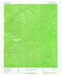
1963 · Bearwallow Mountain
USGS Topo · 1:24,000
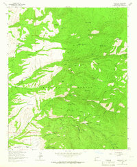
1963 · Mogollon
USGS Topo · 1:24,000
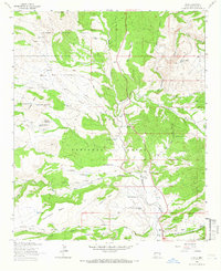
1963 · Alma
USGS Topo · 1:24,000
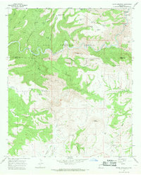
1965 · Wilson Mountain
USGS Topo · 1:24,000