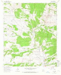
1963 Map of Alma
USGS Topo · Published 1966About this map
The settlement of Alma serves as the focal point for this 1963 survey of the New Mexico high country, where the San Francisco River meets Mineral Creek. The landscape is a complex network of tablelands and drainages, notably Cradle Mesa and Spurgeon Mesa, which are interspersed with several family-named ranching operations. The mapping of the Apache National Forest and Gila National Forest boundaries reveals a rural economy dependent on water management, evidenced by numerous tanks such as Cradle Mesa Tank No 1 and Wylie Morgan Tank. Local history and genealogy are supported by the presence of a Cem near the river and isolated landmarks like John Windmill and the B McKeen Ranch. Primitive transportation routes, including White Rocks Road and Charlie Moore Road, suggest the era's reliance on ranch-to-market access through the canyon systems.
Find a feature on this map
89 named features on this map. Tap any name to fly to it.
Don’t see what you’re looking for? This feature index may not catch every label — zoom into the map to look around manually.
Map Details
Editions of this 1963 Alma Map
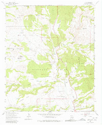
2 editions found
Other maps of this area

1910 · Mogollon
USGS Topo · 1:125,000

1912 · Mogollon
USGS Topo · 1:125,000

1913 · Morenci
USGS Topo · 1:125,000

1915 · Morenci
USGS Topo · 1:125,000

1915 · Reserve
USGS Topo · 1:125,000

1918 · Reserve
USGS Topo · 1:125,000

1922 · Nutrioso
USGS Topo · 1:125,000

1954 · Clifton
USGS Topo · 1:250,000

1957 · Clifton
USGS Topo · 1:250,000

1958 · Clifton
USGS Topo · 1:250,000