Loading...
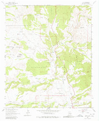
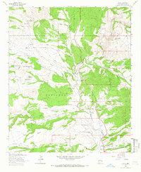
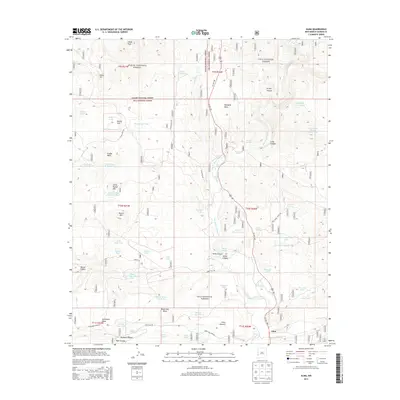
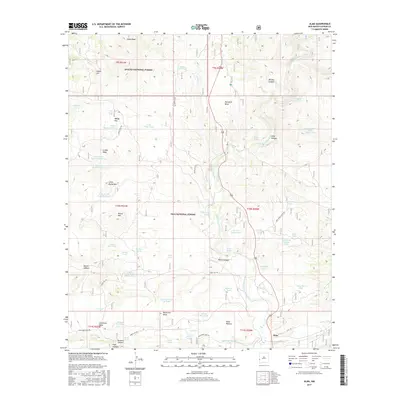
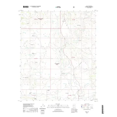
Loading map...1963 Map of Alma
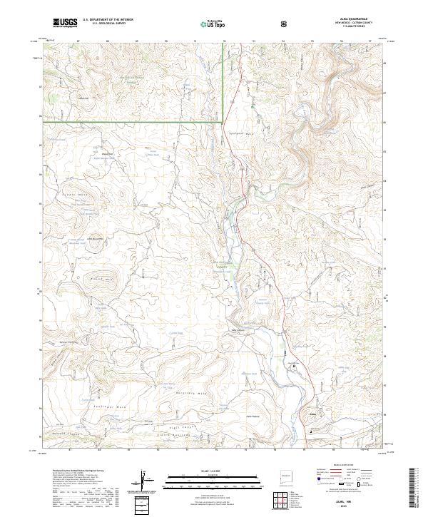
USGS Topo · Published 1980About this map
Alma and its surrounding ranchlands sit at the confluence of the San Francisco River and Mineral Creek, serving as a focal point for this 1963 survey of southwestern New Mexico. The landscape is characterized by a sophisticated network of water management features essential for high-desert ranching, including named tanks like Hollimon Tank and Wylie Morgan Tank, and specific livestock infrastructure such as Cradle Mesa Tank No 1.
Find a feature on this map
59 named features on this map. Tap any name to fly to it.
Don’t see what you’re looking for? This feature index may not catch every label — zoom into the map to look around manually.
Map Details
Date Portrayed1963
Date Published1980
PublisherU.S. Geological Survey
Map TypeTopographic
Scale1:24,000
Physical Dimensions22 x 27 inches
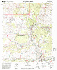
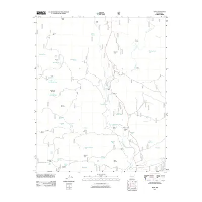
Editions of this 1963 Alma Map
2 editions found
Historical Maps of LH Ranch Through Time
7 maps found
Featured Locations
Source Details
SourceU.S. Geological Survey
CopyrightPublic Domain