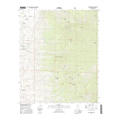
2017 Map of Holt Mountain
USGS Topo · Published 2017About this map
Glenwood and Pleasanton serve as the primary gateways to the high-elevation terrain of the Gila National Forest in this 2017 survey of Catron County. The landscape is defined by the steep drainage of Whitewater Cr, where the famous Cat Walk Rd leads into deep canyons like Deer Park Canyon. Aviation infrastructure is notably present with the Whitewater Mesa Ranch Airport and the Glenwood-Catron County Airport situated on the relatively flat expanse of White Water Mesa.
Find a feature on this map
75 named features on this map. Tap any name to fly to it.
Don’t see what you’re looking for? This feature index may not catch every label — zoom into the map to look around manually.
Map Details
Editions of this 2017 Holt Mountain Map
This is the sole edition of this map. No revisions or reprints were ever made.
Other maps of this area
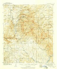
1910 · Mogollon
USGS Topo · 1:125,000
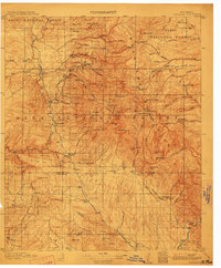
1912 · Mogollon
USGS Topo · 1:125,000

1954 · Clifton
USGS Topo · 1:250,000

1957 · Clifton
USGS Topo · 1:250,000

1958 · Clifton
USGS Topo · 1:250,000
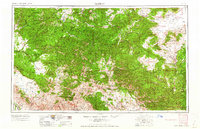
1962 · Clifton
USGS Topo · 1:250,000
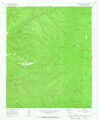
1963 · Bearwallow Mountain
USGS Topo · 1:24,000
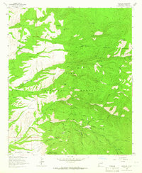
1963 · Mogollon
USGS Topo · 1:24,000
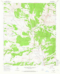
1963 · Alma
USGS Topo · 1:24,000
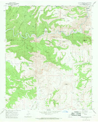
1965 · Wilson Mountain
USGS Topo · 1:24,000