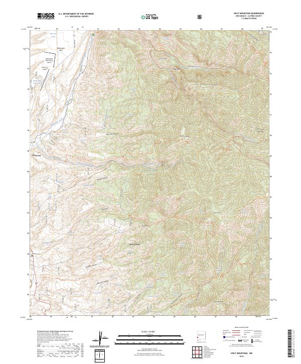
2023 Map of Holt Mountain
USGS Topo · Published 2023About this map
Glenwood sits at the western edge of this terrain where the high desert meets the steep drainages of the Gila National Forest. The landscape is defined by its complex hydrology, featuring numerous named springs and tanks such as Goat Spring, Midnight Spring, and Sunshine Tank that supported ranching and transit through these canyons. High points like Wilcox Peak and Holt Mtn overlook a network of trails, including the Holt-Apache Trl and the historic Cat Walk Rd which follows the path of Whitewater Creek.
Find a feature on this map
77 named features on this map. Tap any name to fly to it.
Don’t see what you’re looking for? This feature index may not catch every label — zoom into the map to look around manually.
Map Details
Editions of this 2023 Holt Mountain Map
This is the sole edition of this map. No revisions or reprints were ever made.
Other maps of this area

1910 · Mogollon
USGS Topo · 1:125,000

1912 · Mogollon
USGS Topo · 1:125,000

1954 · Clifton
USGS Topo · 1:250,000

1957 · Clifton
USGS Topo · 1:250,000

1958 · Clifton
USGS Topo · 1:250,000

1962 · Clifton
USGS Topo · 1:250,000

1963 · Bearwallow Mountain
USGS Topo · 1:24,000
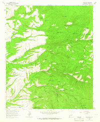
1963 · Mogollon
USGS Topo · 1:24,000
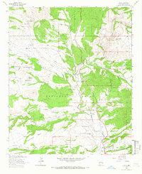
1963 · Alma
USGS Topo · 1:24,000
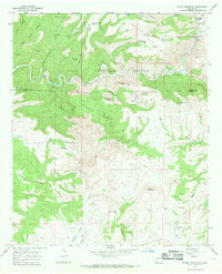
1965 · Wilson Mountain
USGS Topo · 1:24,000