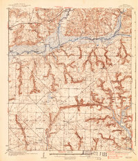
1937 Map of Holt
USGS Topo · Published 1937About this map
The Yellow River and Shoal River converge here amidst the early development of Okaloosa County. In the mid-1930s, the landscape was a mix of timber industry infrastructure and isolated riverside settlements. The Louisville and Nashville railroad tracks parallel the Spanish Trail through Holt, Galliver, and Milligan, marking the primary transportation corridor through the rugged Florida Panhandle interior.
Find a feature on this map
35 named features on this map. Tap any name to fly to it.
Don’t see what you’re looking for? This feature index may not catch every label — zoom into the map to look around manually.
Map Details
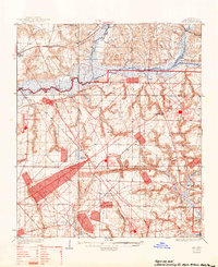
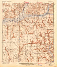
Editions of this 1937 Holt Map
4 editions found
Other maps of this area

1921 · Holley
USGS Topo · 1:62,500

1934 · Holt
USGS Topo · 1:48,000

1934 · Harold
USGS Topo · 1:62,500

1934 · Niceville
USGS Topo · 1:48,000

1935 · Villa Tasso
USGS Topo · 1:48,000

1936 · Niceville
USGS Topo · 1:62,500

1936 · Holley
USGS Topo · 1:48,000

1937 · Holt
USGS Topo · 1:62,500

1937 · Harold
USGS Topo · 1:62,500

1938 · Mary Esther
USGS Topo · 1:62,500