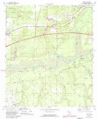
1973 Map of Holt
USGS Topo · Published 1987About this map
Holt and Galliver anchor this western Panhandle landscape during a period of infrastructure expansion in the 1970s and 80s. The northern reaches are dominated by the Blackwater River State Forest and the winding course of the Blackwater River, while the southern half is occupied by the northern boundary of Eglin Air Force Base. Between these protected lands, the Yellow River cuts a wide path through the center of the map, flanked by swampy lowlands and distinctive river landmarks like Gin Hole Landing, Garr Landing, and Rattlesnake Bluff.
Find a feature on this map
43 named features on this map. Tap any name to fly to it.
Don’t see what you’re looking for? This feature index may not catch every label — zoom into the map to look around manually.
Map Details
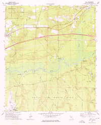
Editions of this 1973 Holt Map
2 editions found
Other maps of this area

1934 · Holt
USGS Topo · 1:48,000

1934 · Harold
USGS Topo · 1:62,500

1937 · Holt
USGS Topo · 1:62,500

1937 · Harold
USGS Topo · 1:62,500

1938 · Harold
USGS Topo · 1:62,500

1948 · Munson
USGS Topo · 1:62,500

1949 · Crestview
USGS Topo · 1:62,500

1950 · Munson
USGS Topo · 1:62,500

1951 · Crestview
USGS Topo · 1:62,500

1956 · Holt
USGS Topo · 1:62,500