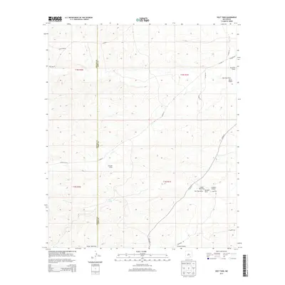
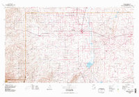
2013 Map of Holt Tank
USGS Topo · Published 2013About this map
The Chaves and Eddy County line divides this arid landscape of the Pecos Valley region, where drainage patterns define the local geography. Ranching infrastructure is central to the area, anchored by Holt Tank and its associated Holt Tank Draw. The terrain is deeply incised by seasonal watercourses such as Fourmile Draw, Catclaw Draw, and the winding Crooked Canyon. Transport is limited to a network of rural routes and ranch roads, including Russell Gap Rd and Hobble Rd, which connect isolated sections of the high desert. This survey provides a clear view of the Public Land Survey System grid across T18S and T19S, documenting the sparse but essential water management and access points used in this corner of New Mexico during the early twenty-first century.
Find a feature on this map
26 named features on this map. Tap any name to fly to it.
Don’t see what you’re looking for? This feature index may not catch every label — zoom into the map to look around manually.
Map Details
Editions of this 2013 Holt Tank Map
This is the sole edition of this map. No revisions or reprints were ever made.
Other maps of this area

1954 · Carlsbad
USGS Topo · 1:250,000
1955 · Hope
USGS Topo · 1:24,000
1956 · Hope
USGS Topo · 1:24,000
1956 · Antelope Sink
USGS Topo · 1:24,000
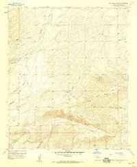
1957 · Box Canyon Ranch
USGS Topo · 1:24,000

1958 · Carlsbad
USGS Topo · 1:250,000
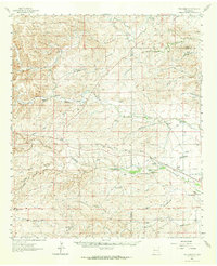
1960 · Teel Ranch
USGS Topo · 1:62,500
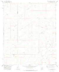
1978 · Strychnine Draw
USGS Topo · 1:24,000
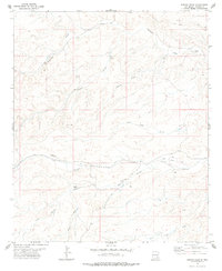
1978 · Encino Draw
USGS Topo · 1:24,000
1978 · Artesia
USGS Topo · 1:100,000