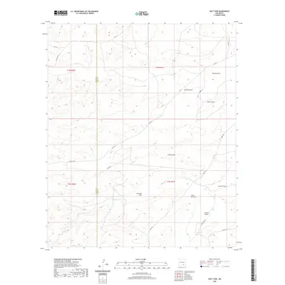
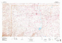
2020 Map of Holt Tank
USGS Topo · Published 2020About this map
Holt Tank sits at the heart of this high-desert landscape along the boundary of Chaves Co and Eddy Co. The area is defined by a complex network of ephemeral drainages and canyons, including the prominent Bullis Canyon and Crooked Canyon. These natural features, alongside numerous named draws like Fourmile Draw and Catclaw Draw, dictate the sparse infrastructure of the region.
Find a feature on this map
24 named features on this map. Tap any name to fly to it.
Don’t see what you’re looking for? This feature index may not catch every label — zoom into the map to look around manually.
Map Details
Editions of this 2020 Holt Tank Map
This is the sole edition of this map. No revisions or reprints were ever made.
Other maps of this area

1954 · Carlsbad
USGS Topo · 1:250,000
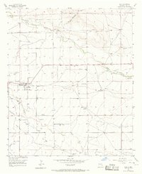
1955 · Hope
USGS Topo · 1:24,000
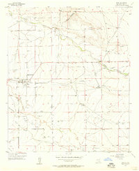
1956 · Hope
USGS Topo · 1:24,000
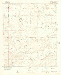
1956 · Antelope Sink
USGS Topo · 1:24,000
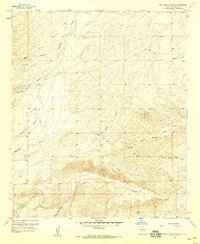
1957 · Box Canyon Ranch
USGS Topo · 1:24,000

1958 · Carlsbad
USGS Topo · 1:250,000
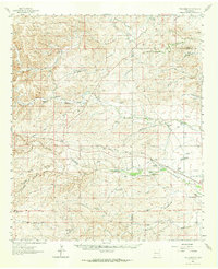
1960 · Teel Ranch
USGS Topo · 1:62,500
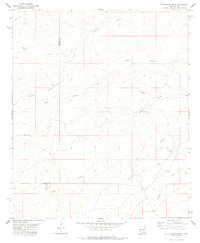
1978 · Strychnine Draw
USGS Topo · 1:24,000
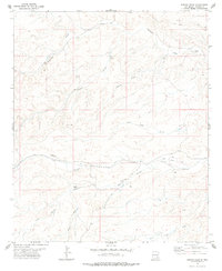
1978 · Encino Draw
USGS Topo · 1:24,000
1978 · Artesia
USGS Topo · 1:100,000