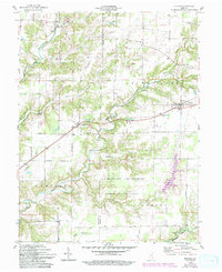
1959 Map of Holton
USGS Topo · Published 1993About this map
Holton and the surrounding borderlands of Jennings and Ripley counties are defined by a network of creeks and military boundaries. The southern portion of this landscape is dominated by the Jefferson Proving Ground, where the Old Timbers Lodge sits amidst a restricted terrain of rolling woodlots and watercourses like Falling Timber Branch. To the north, the small settlements of Nebraska and Zenas persist near the winding Muscatatuck River and its Vernon Fork.
Find a feature on this map
34 named features on this map. Tap any name to fly to it.
Don’t see what you’re looking for? This feature index may not catch every label — zoom into the map to look around manually.
Map Details
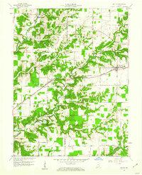
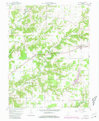
Editions of this 1959 Holton Map
4 editions found
Other maps of this area

1942 · Columbus
USGS Topo · 1:125,000

1946 · Versailles
USGS Topo · 1:24,000

1946 · Osgood
USGS Topo · 1:24,000

1953 · Cincinnati
USGS Topo · 1:250,000

1956 · Louisville
USGS Topo · 1:250,000

1957 · Cincinnati
USGS Topo · 1:250,000

1957 · Butlerville
USGS Topo · 1:24,000

1958 · Millhousen
USGS Topo · 1:24,000

1958 · Westport
USGS Topo · 1:24,000

1959 · Holton
USGS Topo · 1:24,000