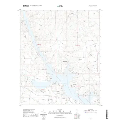
2020 Map of Holtville
USGS Topo · Published 2020About this map
The Coosa River corridor in Elmore County is defined by its dramatic transition from free-flowing creek beds to the expansive waters of Mitchell Lake. This landscape is marked by historical crossroads and small rural hubs like Titus, Weoka Mills, and Buyck. The terrain is deeply dissected by a network of drainages including Shoal Creek, Weoka Creek, and Dunlap Cr, which converge toward the river valley. For local historians and genealogists, the map identifies several established family burial sites, such as Sewell Cem, Speigner Cem, and Holman Cem. The road network, including names like Gold Mine Branch Rd and Old Ferry Rd, hints at the earlier industrial and transit patterns of this central Alabama region. The southern portion of the sheet features the community of Holtville, situated where the hills begin to level toward the coastal plain.
Find a feature on this map
127 named features on this map. Tap any name to fly to it.
Don’t see what you’re looking for? This feature index may not catch every label — zoom into the map to look around manually.
Map Details
Editions of this 2020 Holtville Map
This is the sole edition of this map. No revisions or reprints were ever made.
Other maps of this area

1901 · Wetumpka
USGS Topo · 1:125,000

1901 · Wetumpka
USGS Topo · 1:62,500

1903 · Wetumpka
USGS Topo · 1:125,000

1953 · Montgomery
USGS Topo · 1:250,000

1956 · Montgomery
USGS Topo · 1:250,000

1957 · Montgomery
USGS Topo · 1:250,000
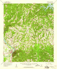
1959 · Wetumpka
USGS Topo · 1:62,500

1959 · Elmore
USGS Topo · 1:62,500

1971 · Richville
USGS Topo · 1:24,000
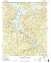
1971 · Mitchell Dam
USGS Topo · 1:24,000