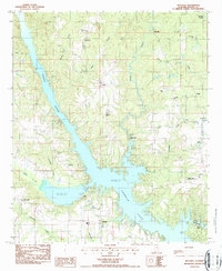
1987 Map of Holtville
USGS Topo · Published 1987About this map
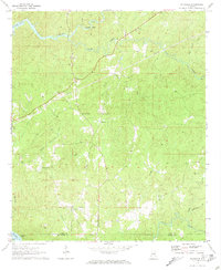
Jordan Lake and the Coosa River dominate this Central Alabama landscape, where the rising waters of the mid-20th century transformed the river valley into a complex shoreline of inlets and points. The area around Holtville and Titus retains its rural character, marked by a high density of country churches and family burial grounds such as Rivers Chapel Cem and Holman Cem. Industrial history is visible along the winding path of Weoka Creek, which supported operations at Sykes Mill and Weoka Mills. To the south, the presence of Camp Chandler (YMCA) on the banks of Jordan Lake signifies the region's shift toward recreation. Other small settlements like Buyck are mapped alongside numerous feeder streams, including Pinkston Creek and Welona Creek, which continue to shape the wooded topography of Elmore County.
Find a feature on this map
40 named features on this map. Tap any name to fly to it.
Don’t see what you’re looking for? This feature index may not catch every label — zoom into the map to look around manually.
Map Details
Editions of this 1987 Holtville Map
This is the sole edition of this map. No revisions or reprints were ever made.
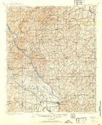
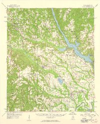
Other maps of this area

1901 · Wetumpka
USGS Topo · 1:125,000
1901 · Wetumpka
USGS Topo · 1:62,500

1903 · Wetumpka
USGS Topo · 1:125,000

1953 · Montgomery
USGS Topo · 1:250,000

1956 · Montgomery
USGS Topo · 1:250,000

1957 · Montgomery
USGS Topo · 1:250,000
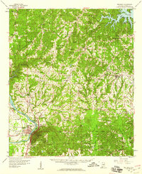
1959 · Wetumpka
USGS Topo · 1:62,500
1959 · Elmore
USGS Topo · 1:62,500
1971 · Richville
USGS Topo · 1:24,000

1971 · Mitchell Dam
USGS Topo · 1:24,000