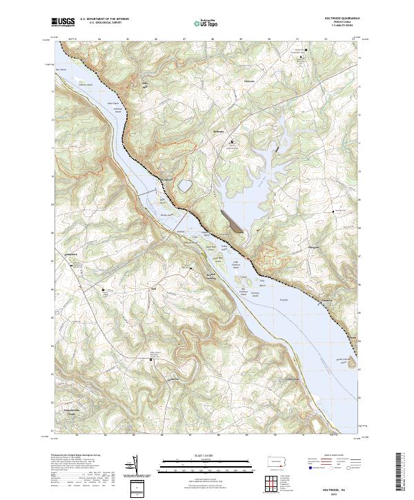
2023 Map of Holtwood
USGS Topo · Published 2023About this map
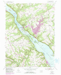
The Susquehanna River carves through this landscape on the border of Lancaster and York counties, defining a region where water power and river commerce once anchored the local economy. Evidence of this industrial heritage remains at Erbs Mill on Tucquan Creek and downstream at Coyne Lock, while the river itself is dotted with numerous landforms including Duncan Island, Peavine Island, and Mount Johnson Island.
Find a feature on this map
91 named features on this map. Tap any name to fly to it.
Don’t see what you’re looking for? This feature index may not catch every label — zoom into the map to look around manually.
Map Details
Editions of this 2023 Holtwood Map
This is the sole edition of this map. No revisions or reprints were ever made.
Historical Maps of Providence Township Through Time
16 maps found
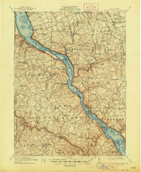
1912 Mc Calls Ferry
Lancaster County, PA
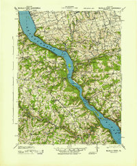
1943 McCalls Ferry
Lancaster County, PA
1955 Conestoga
Lancaster County, PA
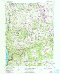
1955 Holtwood
Lancaster County, PA
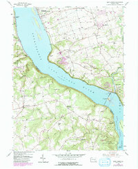
1955 Safe Harbor
Lancaster County, PA
1956 Columbia East
Lancaster County, PA
1964 Columbia West
Lancaster County, PA
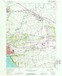
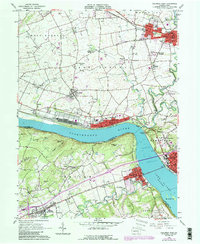
1995 Columbia East
Lancaster County, PA
1995 Safe Harbor
Lancaster County, PA
1997 Columbia East
Lancaster County, PA
1997 Columbia West
Lancaster County, PA
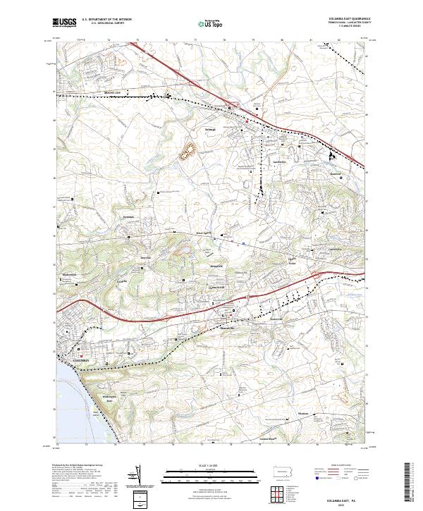
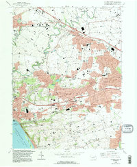
2023 Columbia East
Lancaster County, PA
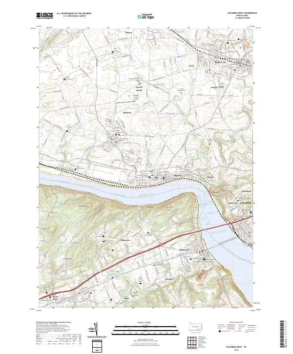
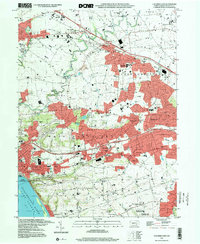
2023 Columbia West
Lancaster County, PA
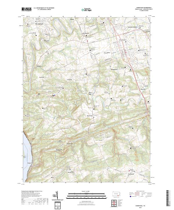
2023 Conestoga
Lancaster County, PA
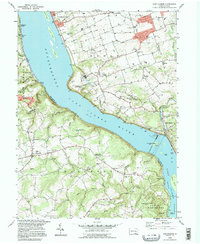
2023 Holtwood
Lancaster County, PA
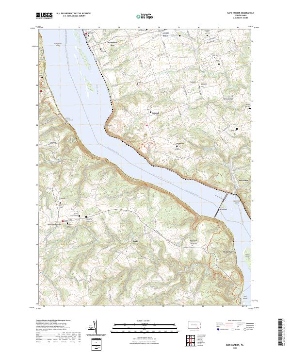
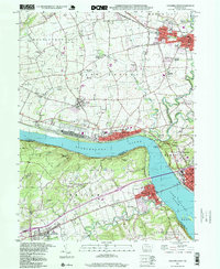
2023 Safe Harbor
Lancaster County, PA
Featured Locations
- Peach Bottom Township, PA
- Lower Chanceford Township, PA
- Providence Township, PA
- Drumore Township, PA
- Bethesda, Martic Township