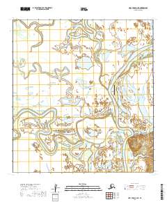
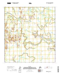
2019 Map of Holy Cross C-2 NE
USGS Topo · Published 2019About this map
The Innoko River winds through this interior landscape, defining the character of the Shageluk settlement. This area is shaped by a complex network of wetlands and oxbow lakes, most notably Shageluk Lake to the east of the primary residential area. The presence of the Shageluk Airport and local thoroughfares such as Riverside Street and Hamilton Street illustrate the modern infrastructure required to support life in this river-dependent community. The map reveals the intricate water patterns of the Yukon-Koyukuk region, where seasonal water levels dictate the movement and layout of the village. For those researching this region, the survey provides a precise look at the township and range boundaries, including t30n r55w, surrounding the local geography.
Find a feature on this map
12 named features on this map. Tap any name to fly to it.
Don’t see what you’re looking for? This feature index may not catch every label — zoom into the map to look around manually.
Map Details
Editions of this 2019 Holy Cross C-2 NE Map
This is the sole edition of this map. No revisions or reprints were ever made.
Other maps of this area

1951 · Holy Cross
USGS Topo · 1:250,000

1952 · Holy Cross C-2
USGS Topo · 1:63,360

1952 · Holy Cross C-1
USGS Topo · 1:63,360

1952 · Holy Cross D-2
USGS Topo · 1:63,360

1952 · Holy Cross D-1
USGS Topo · 1:63,360

1952 · Holy Cross
USGS Topo · 1:250,000
2019 · Holy Cross D-1 SW
USGS Topo · 1:25,000
2019 · Holy Cross D-2 SW
USGS Topo · 1:25,000
2019 · Holy Cross C-2 SE
USGS Topo · 1:25,000
2019 · Holy Cross C-2 NW
USGS Topo · 1:25,000